What Can You Do With a GIS Degree?
Posted: September 11, 2019 | Author: Savannah Byers | Read Time: 2 minutes
If you ask any two people who work in Geographic Information Systems (GIS) what they do, you will likely get two completely different answers. The world of GIS is boundless, and Southern Utah University offers a dynamic GIS program with many opportunities and options to prepare you to enter a variety of career fields.
A “GIS” is a specifically organized data system that can be analyzed to solve problems. Meaning, the career possibilities and opportunities available with a GIS degree are endless!
Eight Careers With a GIS Degree
GIS Developer
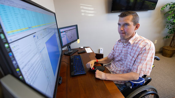
Developers in GIS create and modify GIS tools, applications, programs, and software. This career has changed drastically in the last 10 years moving from physical maps to digital maps in a cloud-based system.
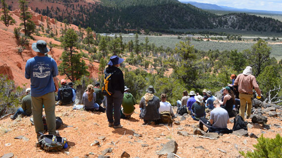
Conservationist
Conservationists manage and identify natural habitats to preserve by collecting data and utilizing GIS mapping technology. Depending on where you work, fieldwork may be a large emphasis in this profession.
Law Enforcement
Many different areas of law enforcement use and analyze GIS in their jobs to keep cities safe. Helicopter firefighters may use GIS to track and locate large fires to extinguish, and police departments may use GIS to analyze crime patterns.
Cartographer
The field of cartography has been around for a long time and has evolved greatly. Cartography is still a very relevant profession today as many of the maps cartographers create include data in the design of their maps.
Health Geographer
Health geographers have the ability to use GIS tracking technology to analyze disease, disaster, and illness in relation to both location and environment. Health geographers work to track the spread of disease, and prepare intervention.
Remote Sensing Analyst
Remote sensing analysts solve problems by using scans from aircraft and satellites. These individuals work in fields such as natural resource management, urban planning, homeland security, etc. to solve a variety of problems using GIS strategies.
Climate Scientist
Climate scientists use GIS to analyze climate patterns and plan intervention. Climate scientists research and fight issues like global warming and natural hazards (earthquakes, volcanoes, hurricanes, tsunamis, extreme weather, etc.)
City/Urban Planner
A city’s GIS can include details such as traffic patterns, weather patterns, crime rates, construction, school zones, highways, and hundreds of other details that can help planners effectively place new businesses and residences, or create a mitigation plan in case of disaster.
As an interdisciplinary program, the GIS Program serves a variety of departments and degrees at SUU. This program provides access to spatial technologies accompanied with knowledge, theory, and hands on experience in order to foster a diversity of geographic research.
SUU’s GIS Program Director David Maxwell enjoys keeping up with as many of his GIS graduates as he can. In 2019, he was happy to report that 100% of his GIS graduates who have completed their capstone have earned a GIS position after graduation.
Graduates from the GIS program pursue many exciting careers after graduation from prestigious fellowships to leading GIS teams. Learn more about SUU’s GIS program.
This article was published more than 3 years ago and might contain outdated information or broken links. As a result, its accuracy cannot be guaranteed.
Tags: Geosciences GIS