Classroom to Career: David Maxwell Builds a GIS Program that Prepares Students for Tomorrow
Published: March 11, 2026 | Author: Gabrielle Costello | Read Time: 3 minutes
 Southern Utah University’s Geographic Information System (GIS) program has long been a place where students learn how to understand and interpret the world around them in new and meaningful ways. At the heart of that growth is David Maxwell, GIS Program Director and longtime faculty member, whose leadership has helped develop a transformative geospatial science program that prepares students for career success in a rapidly evolving field.
Maxwell has served at SUU since 1997, but his connection with the region and the University goes even further back. A graduate of SUU with a bachelor’s degree in design and engineering technology with an emphasis in civil engineering, Maxwell began his professional journey working for the United States Forest Service, where he ran the internship program for several years. When a chance to bring that internship model to SUU emerged, Maxwell jumped at the opportunity and has been instrumental in building the GIS program from the ground up.
“When they offered me the job here, I stayed and have been here ever since,” Maxwell said. “We started with student interns working on projects like the Automated Lands Project for the Dixie National Forest, which kept track of all the private land holdings in the forest. Today, the program has grown into a robust academic experience.”
The early days of SUU’s GIS program were marked by limited resources and big ambitions. Maxwell recalled working with donated computer equipment and teaching students to connect remotely to UNIX machines — a far cry from the cutting-edge tools students have access to today.
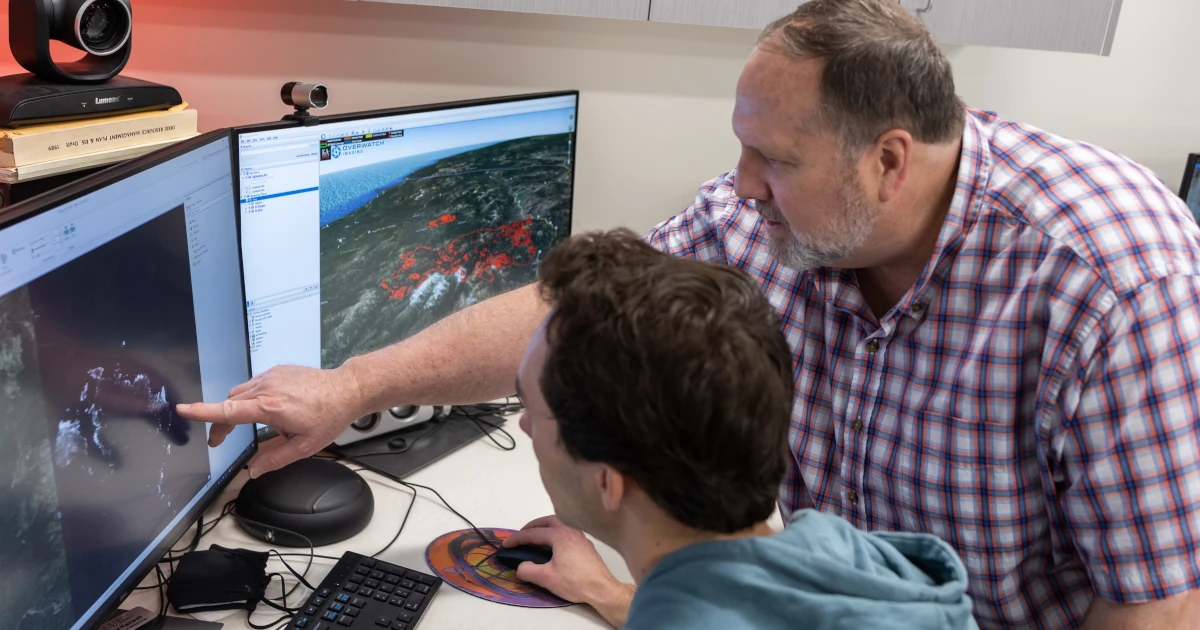
Through strategic partnerships, grants, and cooperative agreements, including early support from well-known global market leader in GIS software, Esri, the program expanded. As part of a bachelor's degree in geospatial science, SUU now offers a comprehensive GIS curriculum that includes core geospatial courses, spatial analysis, cartography, GPS and drone technology, research methods, and capstone experiences that connect classroom learning to real-world applications.
The program recently transitioned its certificate to a 16-credit model, making it accessible to students across campus. This has attracted learners from anthropology, biology, engineering, archaeology, outdoor recreation, and more — reflecting the diverse nature of studying geospatial science.
“We’ve seen students from all around campus come in because GIS applies to so many fields,” Maxwell noted. “It’s a tool for decision-making in almost every profession, whether you’re tracking wildlife, planning transportation, or studying archaeology.”
Central to the GIS program’s success is its emphasis on hands-on learning. Students spend extensive time using industry-standard software and equipment — from drones and GPS units to advanced spatial databases. Maxwell challenges students to build proficiency through repetition, helping them develop the practical expertise employers seek.
“Students will tell you they spend a lot of time on the computer, and that’s because you learn software the same way you learn any skill — by doing it,” Maxwell said. “I want our graduates to walk into a job and already be productive.”
Faculty mentorship is another hallmark of the program. Small class sizes allow students to work closely with instructors and teaching assistants, fostering relationships that often extend into undergraduate research and capstone projects. Many students partner with local agencies, national parks, and engineering firms to produce work that serves real community needs.
“Our goal is to prepare students to think critically and use these technologies to solve real problems,” he said. “Whether they’re mapping habitat or solving hydrology problems, we give them the foundation to succeed.”
As geospatial technologies evolve, especially with the rise of artificial intelligence (AI) and UAV based remote sensing, the GIS program at SUU continues to adapt to keep up with what a graduate may encounter. Maxwell’s hope for graduates remains simple yet ambitious: that they make a positive impact in their chosen professions and communities.
“I want our students to go out and make a difference,” Maxwell said. “They carry the reputation of SUU with them. I hope they use what they’ve learned here to help solve problems and lead in their fields.”
Through nearly three decades of service, Maxwell’s dedication to hands-on learning, interdisciplinary collaboration, and student success has helped shape a GIS program that truly bridges the classroom to career. Learn more about SUU’s robust bachelor’s degree in geospatial science and related programs.
Contact Information