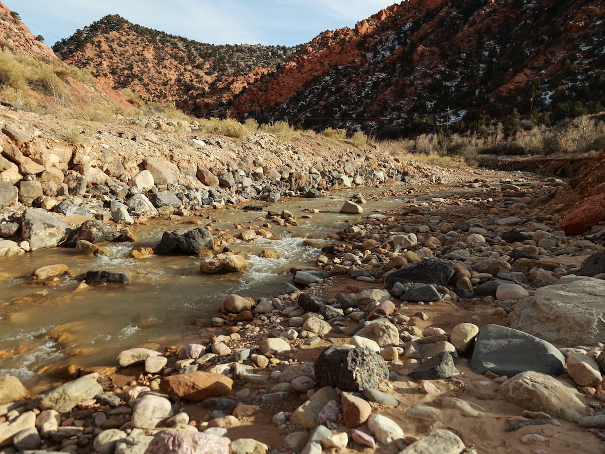
The Bridge - Coal Creek Trail
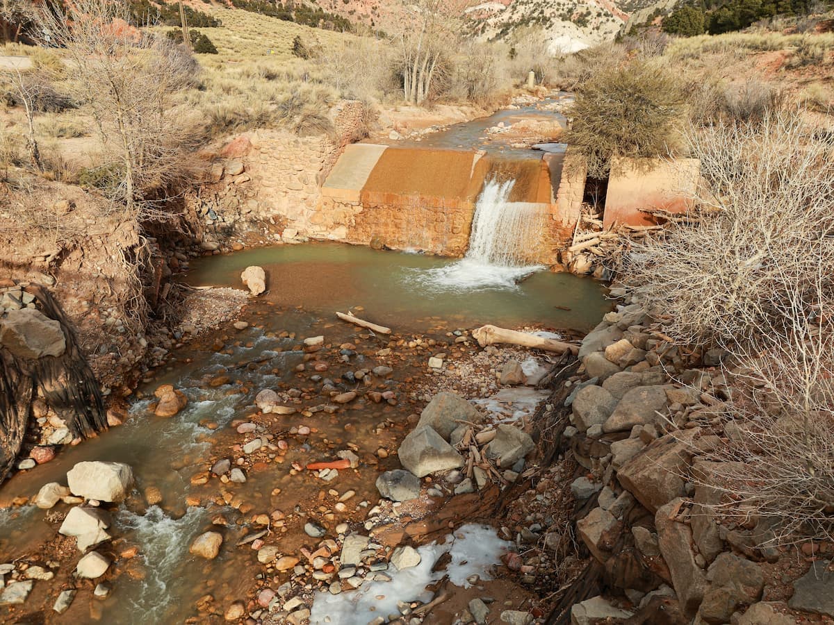
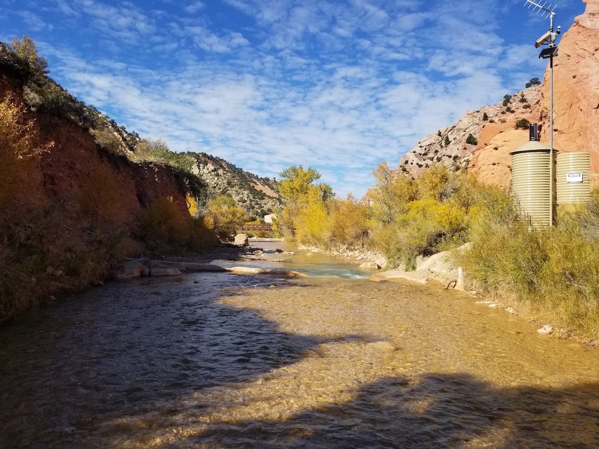
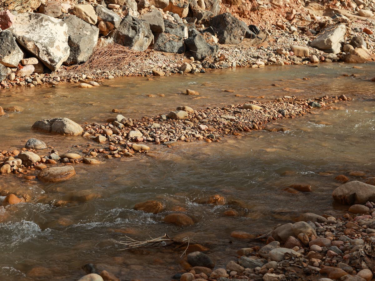
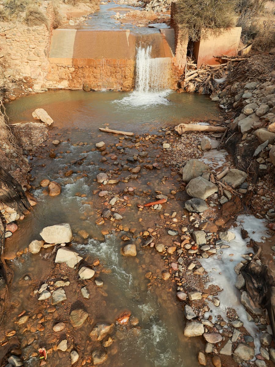
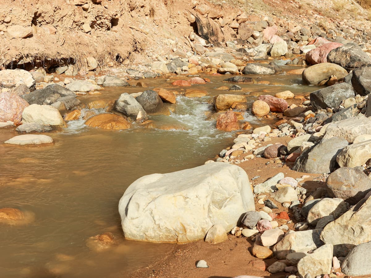
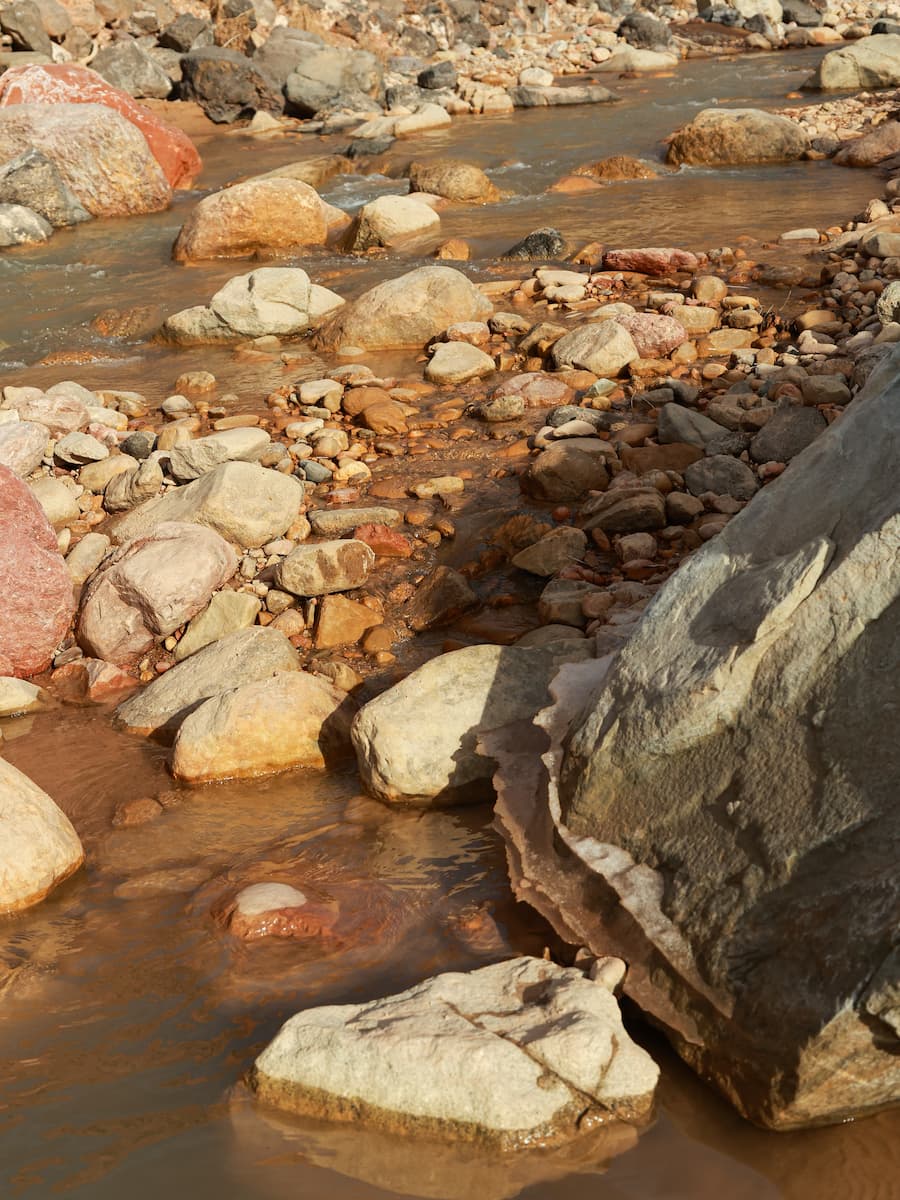
Take a moment to look at the creek actively flowing beneath the bridge. Throughout most of the year Coal Creek may seem like a mild force, slowly trickling through the canyon. How did the large boulders in the creek bed get there? Where does the water come from and where does it go?
However, during heavy rainstorms you can see large rocks, trees, and loads of sediment being transported downstream toward Cedar City. If you have never seen this in person, you need only look at the size of the giant boulders found in the stream-bed. Each of those large blocks were placed there by a quick and powerful flash flood. The effects of such a flood will likely have an impact on roads, houses, and other structures located downstream in Cedar City.

Cedar City's Water Budget
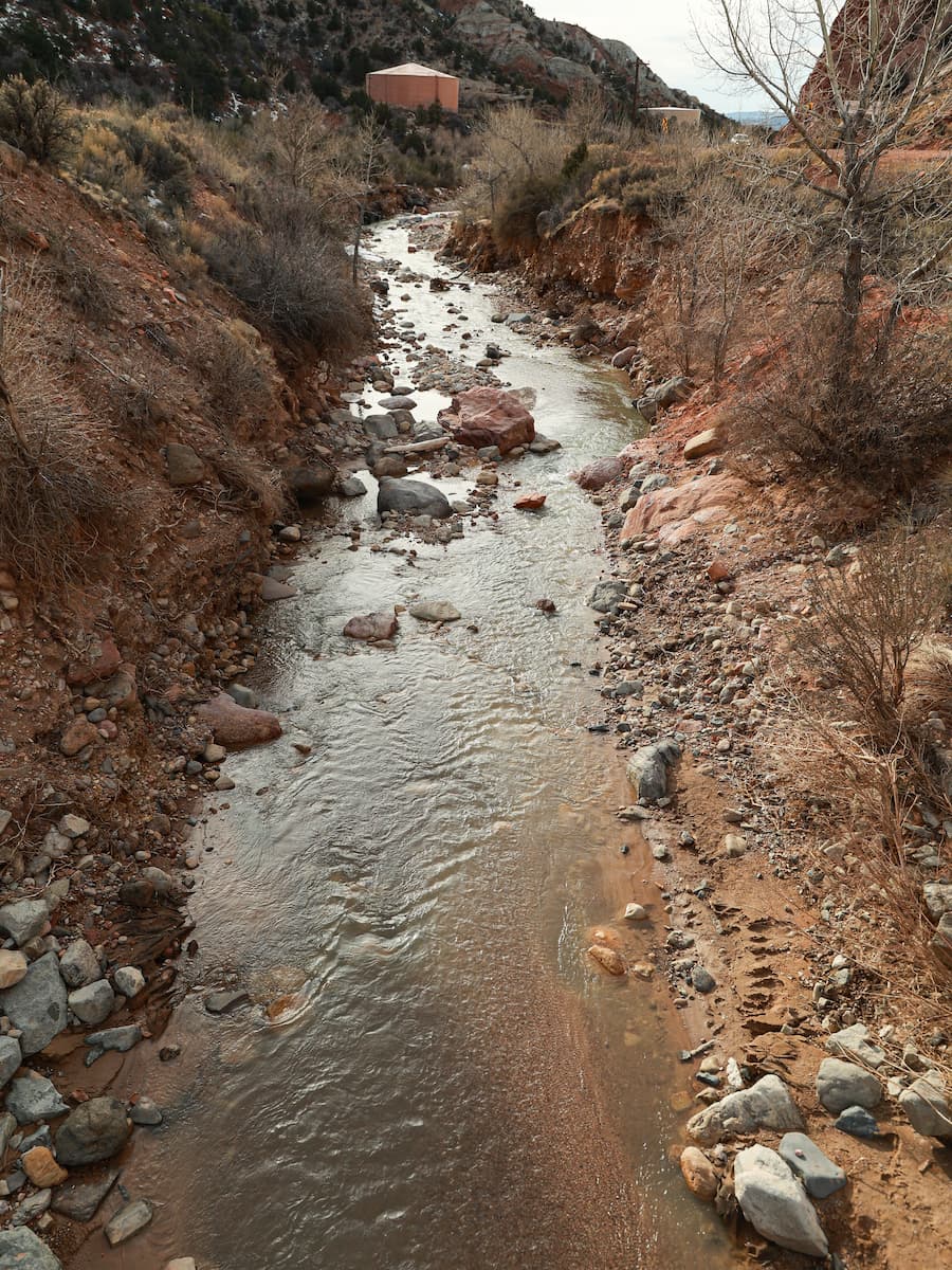
All of the water you see in Coal Creek comes from the mountainous area to the east known as the Markagunt Plateau. This high elevation area collects deep snow each winter. This snow will slowly melt throughout the spring and summer and work its way into coal creek through a variety of tributaries and springs. By volume most of the water in coal creek comes from snowmelt. However, the flood events that transport large amounts of sediment and cause most of the erosion are typically the result of heavy rainfall.
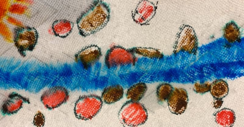
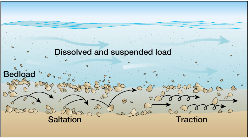
Stream Sediment Load
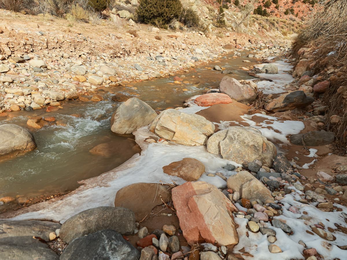
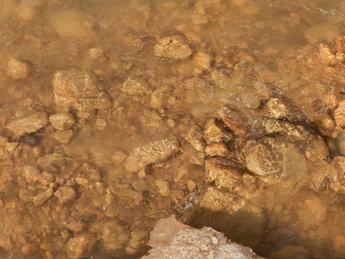
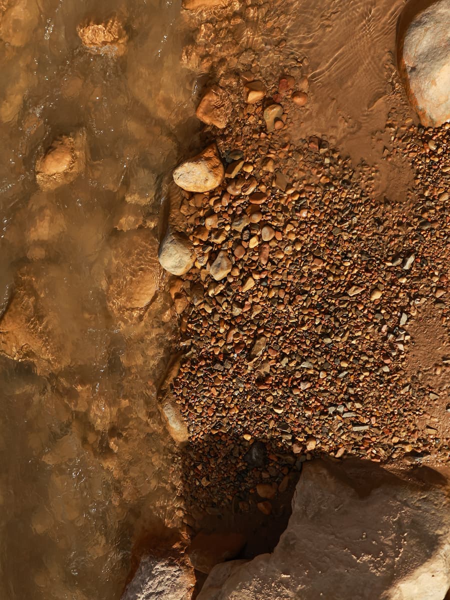
Rivers and streams can move sediment in a variety of ways. Some materials are small enough to actually be lifted above the stream bed. Some of these materials are dissolved while others are actual rock grains that are suspended by the movement of water in the stream. The reddish-brown color that is often seen in Coal Creek is due to this suspended load. Larger materials are pushed along the stream bed. Grains can bounce along the bed through a process called saltation or roll along the bed through a process called traction.

Educator Resources
Educators can download resources for teaching on the Coal Creek Trail.